History of Stono Preserve
The Stono Preserve's Changing Landscape exhibition explores the archaeology and history of a single geographic space in the South Carolina Lowcountry-a 981-acre plot of land 17 miles south of the Charleston peninsula. The site's archaeology uncovers the region's prehistoric, colonial, antebellum, and twentieth-century histories. To illuminate the experiences of the people who shaped the landscape, this exhibit traverses the topics of prehistory, religion, slavery, agriculture and wealth. Placed together, they reflect defining narratives of South Carolina Lowcountry history.
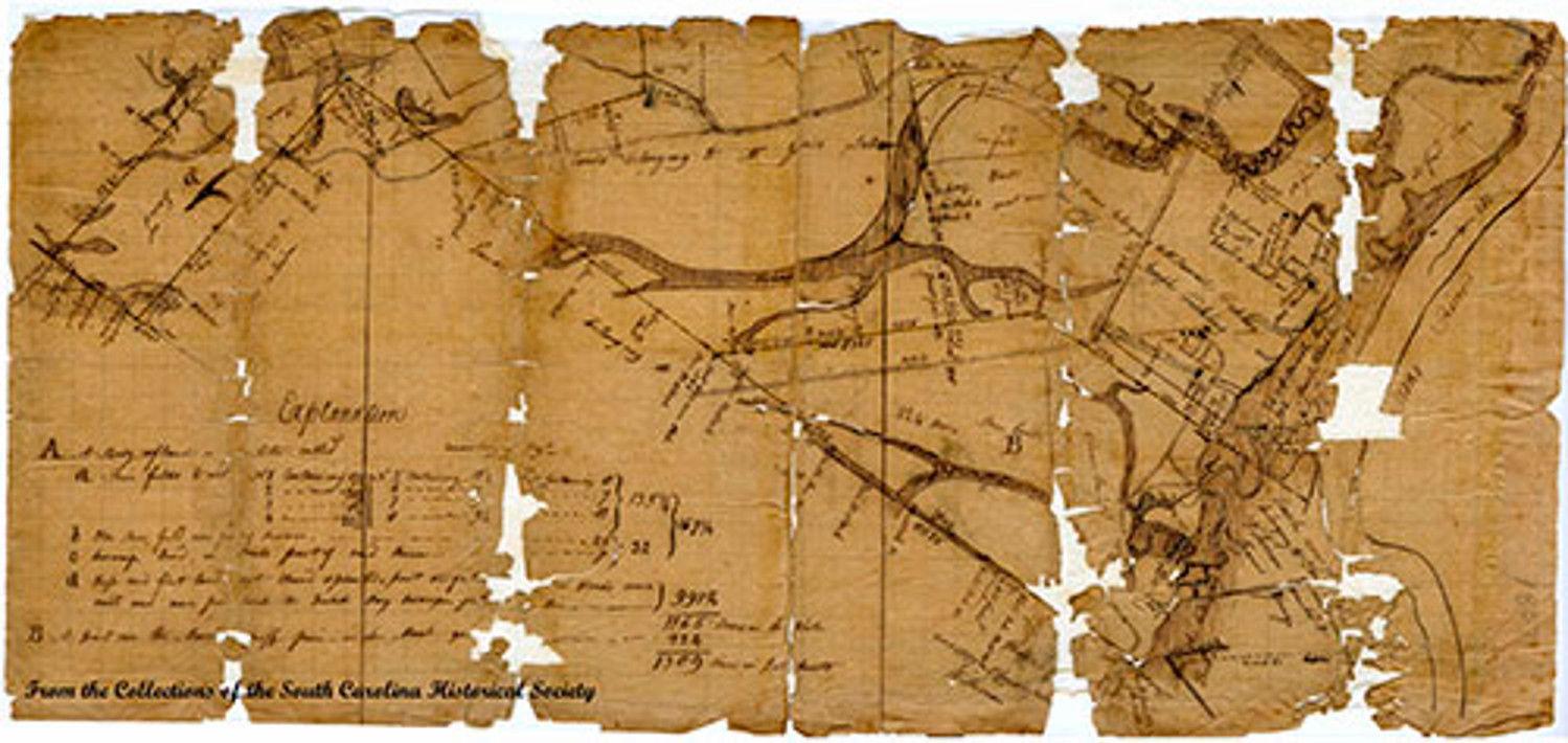
Situated on a bluff along the Stono River overlooking that part known as "Church Flats," this magnificent tract of land today consists of 981 acres. Nearly continuously occupied, the property is historically and archaeologically meaningful, and holds tremendous potential for better understanding a diverse range of topics in South Carolina Lowcountry history.
This site's location on the Stono River drew early colonists and later planters in the seventeenth century who brought enslaved Africans and African Americans. But for thousands of years before that it was inhabited by various groups of American Indians. By the late 1600s much of this area was claimed by King Charles II and controlled from afar by the Lords Proprietors. Part of this property was granted to William Peters in the 1680s but, by 1701, Landgrave Edmund Bellinger had acquired most of the land currently encompassing the property today. It was from this land that Landgrave Bellinger donated 39 acres in 1706 to St. Paul's Parish for their church and cemetery. The church was constructed in 1707, along with a nearby parsonage house.
Tensions between Carolina colonists and various American Indian groups, particularly the Yamasees, came to a head during the Yamasee War (1715-1717). A confederation comprised of different groups of American Indians attacked colonial settlements for reasons ranging from land encroachment, retaliation for trader abuses and debt, to resistance to European enslavement of American Indians. During the Yamasee Indian War the St. Paul's parsonage house was burned; however, little damage was done to the church. After the war, services resumed and continued until the 1750s.
In the 1790s the land that had functioned as the St. Paul's parish glebe for nearly a century was transformed into a classic working plantation by the Fickling family. Shortly after they acquired the property, an avenue of oaks was planted and a house was built at the head of that avenue. Like most Lowcountry plantations, this plantation relied on enslaved labor for daily operation. By 1825 Edward Lynah owned the property presumably by marriage to Eliza Fickling in 1816. The next documented owner of the property was Benjamin Bailey, who acquired the land in the 1850s. Toward the end of the Civil War, after unsuccessfully attempting to pay his taxes in Confederate money, Bailey sold the property to Frederick Richards in 1863. In a deed dating to 1882, Eliza Ann Richards, Frederick's widow, writes, "I leave Dixie Plantation, and all proceeds therefrom to my son Frank Richards, for his lifetime".
The most recent home to stand at the head of the avenue of oaks was constructed in the Colonial Revival style by George Williams in 1918. The house and property were later purchased in 1935 by Italian boxer Vincent Fiermonte and his wife, Madeleine. Madeleine Talmadge Force was first married to John Jacob Astor, IV. While pregnant with John Jacob Astor, VI, she and her husband were passengers on the Titanic's fateful voyage. Mr. Astor drowned, but his wife was one of the few survivors. After his death, she married William K. Dick, a prominent banker and industrialist, and they had two sons, William Force Dick and John Henry Dick. The Fiermontes extensively remodeled their home, and after their divorce, Madeleine received the property. In 1938 as she was traveling to the property, the house was destroyed by a fire.
John Henry Dick, renowned ornithologist and painter of birds, inherited the property from his mother in 1941 and made it his year-round home. In 1947, he constructed his home and art studio along the Stono River. In addition to three ponds, which attract wild birds to the estate, he had an interesting collection of pheasants and peafowl from Asia. There were also many species of ducks and geese, including Chinese Mandarin ducks and saris cranes. Shortly before his death, in an act designed to protect his "Other Eden" from growing development in southern Charleston County, John Henry Dick placed a conservation easement with the Lowcountry Open Land Trust on the entire property. He saw the very real temptation of future owners to develop the property and ensured it would be preserved in its natural state for perpetuity.
Upon John Henry Dick's death in 1995, he bequeathed the property to the College of Charleston Foundation for the educational use of the College of Charleston. Currently, many classes, both at the undergraduate and graduate level, are conducted on the property, ranging from astronomy, to vertebrate zoology, to art and archaeology. Additionally, several research studies are underway by faculty and students, and planning has been initiated to build an environmentally sensitive academic research campus on the property.
The College of Charleston fully embraces the critical importance and promise of conservation of South Carolina's Lowcountry and is committed to upholding this legally binding protection and preserving this remarkable piece of land and history. In 2010, in order to prevent potential development and in keeping with John Henry Dick's vision for the property, the College of Charleston Foundation acquired 19.2 acres adjacent to the property line of the original bequest. The College of Charleston Foundation now protects 981 acres.
The Stono Preserve's Changing Landscape
The Stono Preserve's Changing Landscape exhibition explores the archaeology and history of a single geographic space in the South Carolina Lowcountry- a 981-acre plot of land 17 miles south of the Charleston peninsula. The site's archaeology uncovers the region's prehistoric, colonial, antebellum, and twentieth-century histories. To illuminate the experiences of the people who shaped the landscape, this exhibit traverses the topics of prehistory, religion, slavery, agriculture and wealth. Placed together, they reflect defining narratives of South Carolina Lowcountry history.
Learn More About the History of Stono Preserve
The College of Charleston at Stono Preserve is private land and governed by a conservation easement over the entire property. The easement is very specific as to how the natural resources on the property may be used and accessed. Any photography of the property, trespassing onto the property, or harming of the flora or fauna within it is strictly prohibited and violators will be vigorously prosecuted.