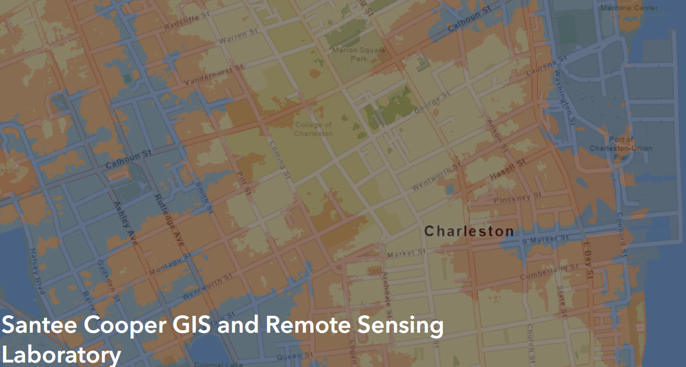
Santee Cooper Geographic Information Systems Laboratory (SCGIS)
The Santee Cooper Geographic Information Systems Laboratory (SCGIS) is a center for excellence in Geographic Information Systems (GIS) and Remote Sensing at the College of Charleston.
The Santee Cooper GIS Laboratory is available to members of the college community. The laboratory supports undergraduate, graduate and faculty teaching and conducting research at the college. The laboratory currently supports the activities of nearly 40 affiliated faculty researchers and over 50 student researchers. Within the classroom setting the laboratory impacts over 100 students per year using the full suite of software the laboratory maintains. Undergraduate and graduate courses in GIS and Remote Sensing have been taught to a broad range of students in disciplines ranging from Geology, Biology, Marine Biology, Geography, Public Administration, Archeology, Architecture, Community Planning, Business, Policy, History, Epidemiology, Risk Assessment, Geo-Informatics and more.
The SCGIS laboratory also maintains an ArcGIS online site that has supported students, faculty, and associated researchers with remote GIS capabilities and data storage. And over the past 5-year period, nearly 1,097 students and faculty have requested accounts for various classes and research activities.

About the SCGIS Laboratory
-
History
The Santee Cooper GIS Laboratory was dedicated on May 20, 1997 by the Santee Cooper Public Service Authority (Santee Cooper) as an example of their dedication to the company's mission of "Improving the quality of life for the people of South Carolina".
The Santee Cooper provided the College of Charleston with a one-time grant of $150,000 in 1997. This generous grant was leveraged with additional resources from software and hardware companies to provide the most widely used GIS and remote sensing equipment for our students.
The laboratory now receives part of the annual budget for the Department of Geology & Environmental Geosciences in the School of Sciences, Mathematics, and Engineering to offset the annual maintenance and upgrade costs for both the hardware and software.
-
Partnerships
The Santee Cooper GIS Laboratory fosters collaboration and innovation in our community through several strategic partnerships. These partnerships provide opportunities for internships, research projects, and networking, ensuring that our students are well-prepared for success in their future careers.
Lowcountry Hazards Center
The laboratory provides all hardware, software, and technical support to the Lowcountry Hazards Center (LCHC). The LCHC came into being in 2009 through a series of federal grants and earmarks that helped to establish it as a center for excellence in environmental and natural hazards at the College of Charleston. All mapping at the center is supported by the SCGIS Laboratory and the LCHC could not function without it.
Joseph P. Riley Jr. Center for Livable Communities
The laboratory maintains and provides GIS capacity and analysis for several grant-funded projects.
Charleston Region GIS User's Consortium Data Node
Recently, a memorandum of understanding was signed by the College of Charleston Department of Geology & Environmental Geosciences and the Santee Cooper GIS Laboratory to share data with regional and local governmental agencies. The College of Charleston has been chosen due to the level of expertise of the faculty and the ability of the servers at the college to serve as redundant data sources in the case of a regional emergency.
SCEEP
The Santee Cooper GIS Laboratory is supporting the funded South Carolina Earthquake Education and Preparedness Center with mapping and WebGIS.
Center of Human Induced Landscapes
Located in HSS.
FEMA HAZUS Training
The College of Charleston's Department of Geology and Environmental Geosciences and the Santee Cooper GIS Laboratory have now trained faculty members to train and support FEMA's HAZUS-MH program by holding certification workshops at the college. Last year, 2 workshops were run and over 25 people were certified though FEMA as disaster mitigation analysts.
Charleston Resilience Network (CRN)
The Santee Cooper GIS Laboratory is supporting the NOAA funded Charleston Resilience Network with mapping and WebGIS.
South Carolina Sea Grant Consortium (SCSGC)
The laboratory provides GIS logistics, support, and storage of GIS and remote sensing data needs of the Consortium.